


Garmin Montana 760i GPS Navigator
KSh 85,800.00
- Global Connectivity with Subscription
- 24/7 Interactive SOS
- 5″ Touchscreen
- 8MP Camera
- MIL-STD 810 Water & Impact Resistant
- Preloaded Worldwide Topo Maps
- Free Downloadable Satellite Imagery
- Outdoor Maps+ (Subscription)
- GPS & Galileo Satellite Navigation
- Altimeter, Barometer, Compass
Kindly Note: Prices and Stock Status are Subject to Change without Prior Notice
Garmin Montana 760i GPS Navigator in Kenya.
Garmin Montana 760i GPS Navigator price in Kenya is at Ksh85,800. Combining three indispensable tools—a multi-service navigator, a satellite communicator, and a camera to capture the adventure—the Garmin Montana 760i GPS Navigator with In-Reach & 8MP Camera can help you find your way around remote areas and stay in touch with the world, even where there’s no cell service. With a satellite network subscription, you’ll be able to communicate with other In-Reach users in the field and with Garmin Response, a 24/7-staffed professional emergency response coordination center. You can also get In-Reach weather and a live tracker that folks back home can use to follow your progress. Loaded with maps and apps, the Montana 710i will be your trusted companion in the backcountry. Buy Garmin Montana 760i GPS Navigator at Starmac Kenya
Related products
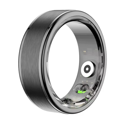
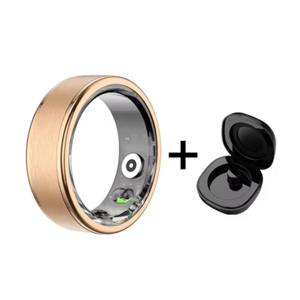
Green Lion Smart Ring
- Material : Stainless steel
- Chipset : Bluex Micro App
- Compatible Systems : Androld 5.1 or above, lOS 8,0 or above FLASH
- Memory : ROM 512KB
- Bluetooth : BT 6.0
- Sensor : STK8921
- Battery Type : Lithium polymor
- Battery Capacity : 15mAh
- Charging Mode : Magnetle
- Charging Weight : 4,7g
- Charging Time : About 1 hour
- Dust Proof & Waterproof Level : 6 ATM
- Battery Life : 5-7 days of use, 15 days of standby
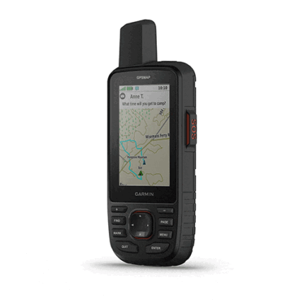
Garmin Gpsmap 67i
MULTI-BAND GNSS SUPPORT
Access multiple global navigation satellite systems (GPS, Galileo and QZSS). Get access to multiple frequencies sent by navigation satellites for improved position accuracy in areas where GNSS signals are reflected, weak or typically don't penetrate.
ABC SENSORS
Navigate every trail with ABC sensors, including an altimeter for elevation data, barometer to monitor weather and 3-axis electronic compass.
SATELLITE IMAGERY
Download high-resolution photorealistic maps directly to your device via Wi-Fi® technology. Easily find trails, pick stand locations and parking, create waypoints and more.
PRELOADED TOPOACTIVE EUROPE MAPS
Preloaded TopoActive Europe maps show you summits, parks, coastlines, rivers, lakes and geographical points.
PREMIUM MAP FEATURES
With an Outdoor Maps+ subscription, you get public land information, landowner names, state plat maps, BLM boundaries and more. (USA Only)
BATTERY LIFE
Turn on expedition mode, and get up to 425 hours of battery life while using inReach technology. In the default tracking mode, you get up to 165 hours of battery life, and your device will save your location every 10 minutes.
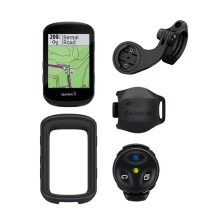
Garmin Edge 530gps
- Full range of performance metrics including everything from basic speed/distance/time data to power analysis, FTP tracking and more
- Turn-by-turn navigation with Garmin Cycle Map
- Automatic sync with Garmin Connect
- 2.6in, 246×322 pixel colour screen (non-touchscreen)
- Internal lithium-ion battery offering claimed 20 hours of use
- WiFi connectivity, plus ANT and Bluetooth for external sensors and pairing with Android and Apple phones
- Fully customisable profiles for different riding disciplines
- Support for third-party apps such as Komoot via Connect IQ Store
- 77g ( 47g for out-front mount including 31.8mm bar shim)
- 85mm long × 51mm wide × 16mm thick (20mm total including protruding mount)
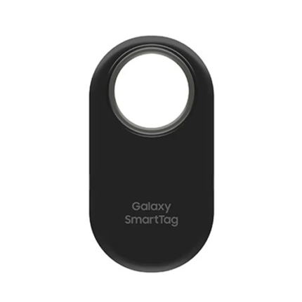
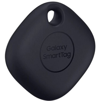
Samsung Galaxy SmartTag 2
- REDESIGNED TO DO MORE: The redesigned Galaxy SmartTag2 is made so you can keep calm and keep track*; Its design makes it easy for you to tag and carry your belongings
- EASY TO USE: It’s IP67-rated water- and dust-resistant**, activates your compatible IoT devices****** and stays powered for up to 500 days*** or even up to 40% more on Non-Power Saving Mode*******
- RELAX, YOU’VE GOT IT TAGGED: Simply register a new Galaxy SmartTag2 and get started right away with SmartThings Find; With its intuitive tracking experience, you now have a way to keep track of things you love right in the palm of your hand*
- SEARCH NEAR WHEN IT’S NOT FAR: Lose something? Switch on Search Nearby**** and get guided instructions to your item’s location via Compass View*****; If you still don’t see it, just ring your Galaxy SmartTag2 to have it send out an audible signal

Garmin GPSMAP 66i
- Large 3” sunlight-readable color display for easy viewing
- Trigger an interactive SOS to the GEOS 24/7 search and rescue monitoring center; two-way messaging via the 100% global Iridium satellite network (satellite subscription required)
- Preloaded Garmin TOPO mapping with direct-to-device BirdsEye Satellite Imagery downloads (no annual subscription); includes multiple Global Navigation Satellite Systems support and navigation sensors
- Cellular connectivity lets you access Active Weather forecasts and Geocaching Live
- Compatible with the Garmin Explore™ website and app to help you manage waypoints, routes, activities and collections, use tracks and review trip data from the field
- Internal, rechargeable lithium battery provides up to 35 hours of battery life in 10-minute tracking mode and 1-minute tracking mode (display off); 200 hours in Expedition mode with 30-minute tracking
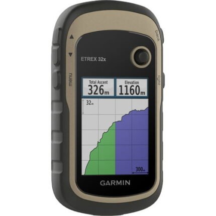
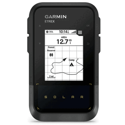
Garmin ETREX 32X
- 2.2” sunlight-readable color display with 240 x 320 display pixels for improved readability
- Preloaded with TopoActive maps with routable roads and trails for cycling and hiking
- Support for GPS and GLONASS satellite systems allows for tracking in more challenging environments than GPS alone
- 8 GB of internal memory for map downloads plus a microSD™ card slot
- eTrex 32x adds a 3-axis compass and barometric altimeter
- Battery life: up to 25 hours in GPS mode with 2 AA batteries