


Garmin ETREX 32X
Original price was: KSh 30,000.00.KSh 25,999.00Current price is: KSh 25,999.00.
- 2.2” sunlight-readable color display with 240 x 320 display pixels for improved readability
- Preloaded with TopoActive maps with routable roads and trails for cycling and hiking
- Support for GPS and GLONASS satellite systems allows for tracking in more challenging environments than GPS alone
- 8 GB of internal memory for map downloads plus a microSD™ card slot
- eTrex 32x adds a 3-axis compass and barometric altimeter
- Battery life: up to 25 hours in GPS mode with 2 AA batteries
Kindly Note: Prices and Stock Status are Subject to Change without Prior Notice
Garmin ETREX 32X Price in Kenya
Garmin ETREX 32X Price in Kenya 25,999. The eTrex 22x and 32x handheld devices come preloaded with road-routable TopoActive maps that feature streets and trails so you can take the journey off the grid. Now you can know your surroundings — such as waterways, natural features as well as buildings, international boundaries and more. You can also find thousands of points of interests, including shops, restaurants, universities, car parks and accommodations.
Explore Confidently with the Reliable Handheld GPS
- 2.2” sunlight-readable color display with 240 x 320 display pixels for improved readability
- Preloaded with TopoActive maps with routable roads and trails for cycling and hiking
- Support for GPS and GLONASS satellite systems allows for tracking in more challenging environments than GPS alone
- 8 GB of internal memory for map downloads plus a microSD™ card slot
- eTrex 32x adds a 3-axis compass and barometric altimeter
- Battery life: up to 25 hours in GPS mode with 2 AA batteries
eTrex 22x and eTrex 32x offer the same ease-of-use, durability and affordability that the eTrex handheld GPS series is known for — along with preloaded TopoActive maps. These devices are perfect for ATVs, bicycles, boats or hiking.
See the Way
eTrex 22x and 32x offer enhanced 2.2”, 65K color, sunlight-readable displays. Durable and water resistant, these handhelds are built to withstand the elements.
Keep Your Fix
The eTrex series uses both GPS and GLONASS satellite systems so the receiver has the ability to track in more challenging environments than GPS alone. eTrex 32x adds a 3-axis compass and barometric altimeter, making it easy for you to keep your bearings.
Add Maps
With a microSD card slot and expanded 8 GB of internal memory, you can easily download additional maps for wherever the adventure takes you.
Satellite Imagery
Both devices support BirdsEye Satellite Imagery (subscription required), so you can download and integrate satellite imagery with your maps.
Find Fun
eTrex 22x and eTrex 32x support paperless geocaching. Upload GPX files straight to your device, and view key information such as location, terrain and hints from Geocaching.com
Go Anywhere
With an array of compatible mounts, eTrex is designed as a handheld — for use on ATVs or bicycles, in boats or on foot. Use the auto mount capability and City Navigator® NT maps for turn-by-turn driving directions, or use the rugged mount for your motorcycle or ATV. Wherever you think you might take eTrex, it has the mapping and mounts to get you there.
Related products
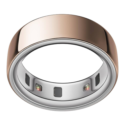
Oura Ring 4
- Tracks sleep, activity, stress, and heart health with over 30 biometrics
- Smart Sensing platform adapts to individual physiology for accurate data
- Titanium construction with water and dust resistance
- Bluetooth-enabled for real-time syncing with mobile health apps
- Compatible with iOS, Android, and over 40 third-party platforms
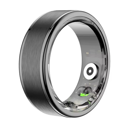
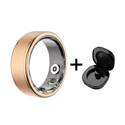
Green Lion Smart Ring
- Material : Stainless steel
- Chipset : Bluex Micro App
- Compatible Systems : Androld 5.1 or above, lOS 8,0 or above FLASH
- Memory : ROM 512KB
- Bluetooth : BT 6.0
- Sensor : STK8921
- Battery Type : Lithium polymor
- Battery Capacity : 15mAh
- Charging Mode : Magnetle
- Charging Weight : 4,7g
- Charging Time : About 1 hour
- Dust Proof & Waterproof Level : 6 ATM
- Battery Life : 5-7 days of use, 15 days of standby
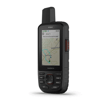
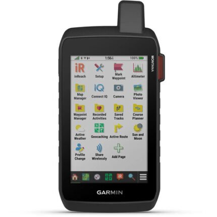
Garmin Gpsmap 67i
MULTI-BAND GNSS SUPPORT
Access multiple global navigation satellite systems (GPS, Galileo and QZSS). Get access to multiple frequencies sent by navigation satellites for improved position accuracy in areas where GNSS signals are reflected, weak or typically don't penetrate.
ABC SENSORS
Navigate every trail with ABC sensors, including an altimeter for elevation data, barometer to monitor weather and 3-axis electronic compass.
SATELLITE IMAGERY
Download high-resolution photorealistic maps directly to your device via Wi-Fi® technology. Easily find trails, pick stand locations and parking, create waypoints and more.
PRELOADED TOPOACTIVE EUROPE MAPS
Preloaded TopoActive Europe maps show you summits, parks, coastlines, rivers, lakes and geographical points.
PREMIUM MAP FEATURES
With an Outdoor Maps+ subscription, you get public land information, landowner names, state plat maps, BLM boundaries and more. (USA Only)
BATTERY LIFE
Turn on expedition mode, and get up to 425 hours of battery life while using inReach technology. In the default tracking mode, you get up to 165 hours of battery life, and your device will save your location every 10 minutes.
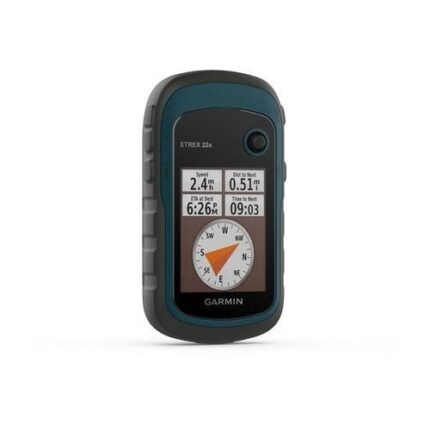
Garmin ETREX 22X
- 2.2” sunlight-readable color display with 240 x 320 display pixels for improved readability
- Preloaded with TopoActive maps with routable roads and trails for cycling and hiking
- Support for GPS and GLONASS satellite systems allows for tracking in more challenging environments than GPS alone
- 8 GB of internal memory for map downloads plus a microSD™ card slot
- eTrex 32x adds a 3-axis compass and barometric altimeter
- Battery life: up to 25 hours in GPS mode with 2 AA batteries